DRC Expands Geophysical Mapping Programme to Unlock New Mineral Discoveries
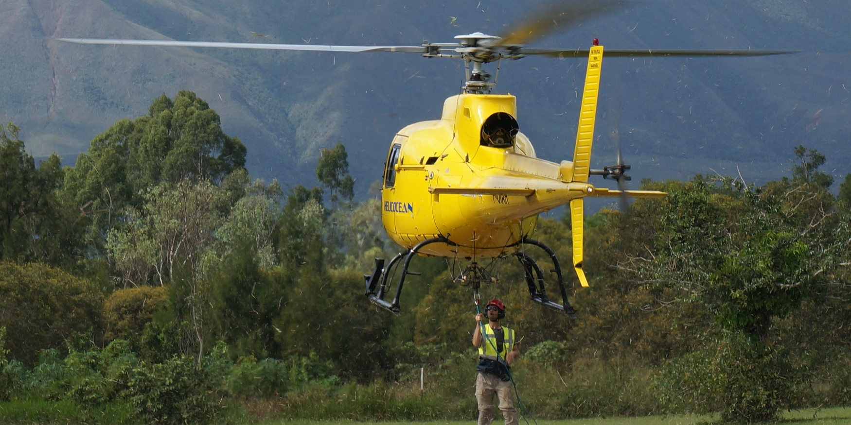
DRC Targets 697,000 km² of Geophysical Mapping by 2029 to Accelerate Mineral Exploration and Mining Investment The Democratic Republic of Congo is significantly accelerating its geological exploration efforts through an ambitious geophysical mapping programme designed to improve knowledge of the country’s vast mineral potential and attract new mining investment. Under the National Geological Mapping and Mineral Resource Assessment Programme (PC2G), authorities aim to expand geophysical coverage from approximately 209,000 square kilometres to 697,000 square kilometres by 2029, substantially increasing the amount of geological data available to investors and exploration companies.…
Read More Here