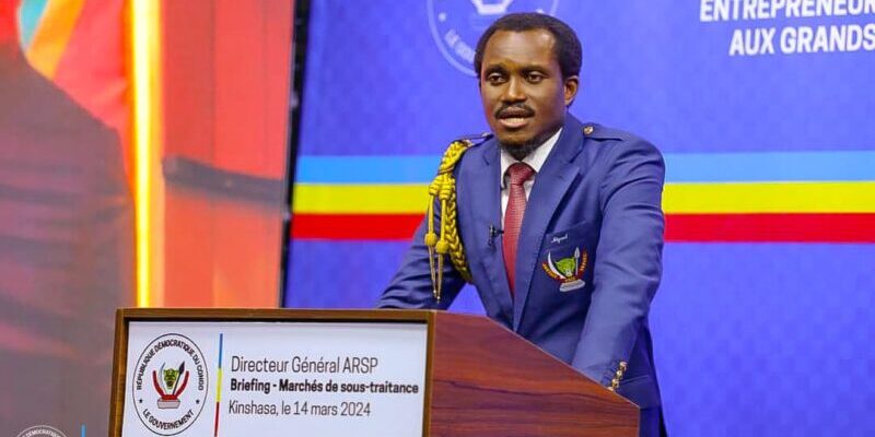
BGFIBank Engages Industry Leaders at First Mining Summit Tech in Kolwezi
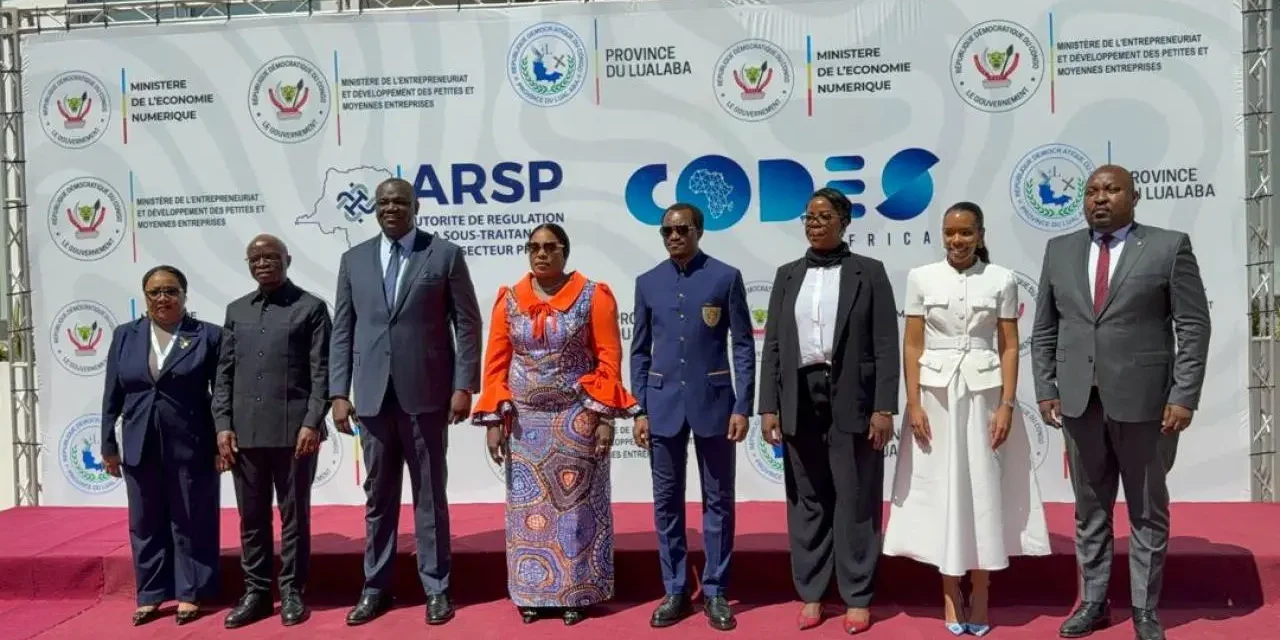
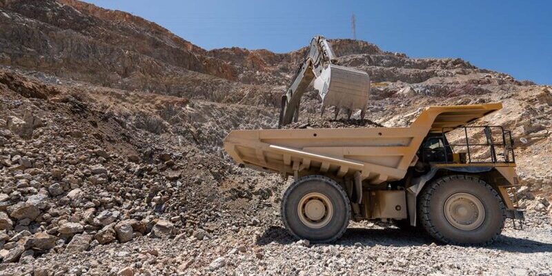
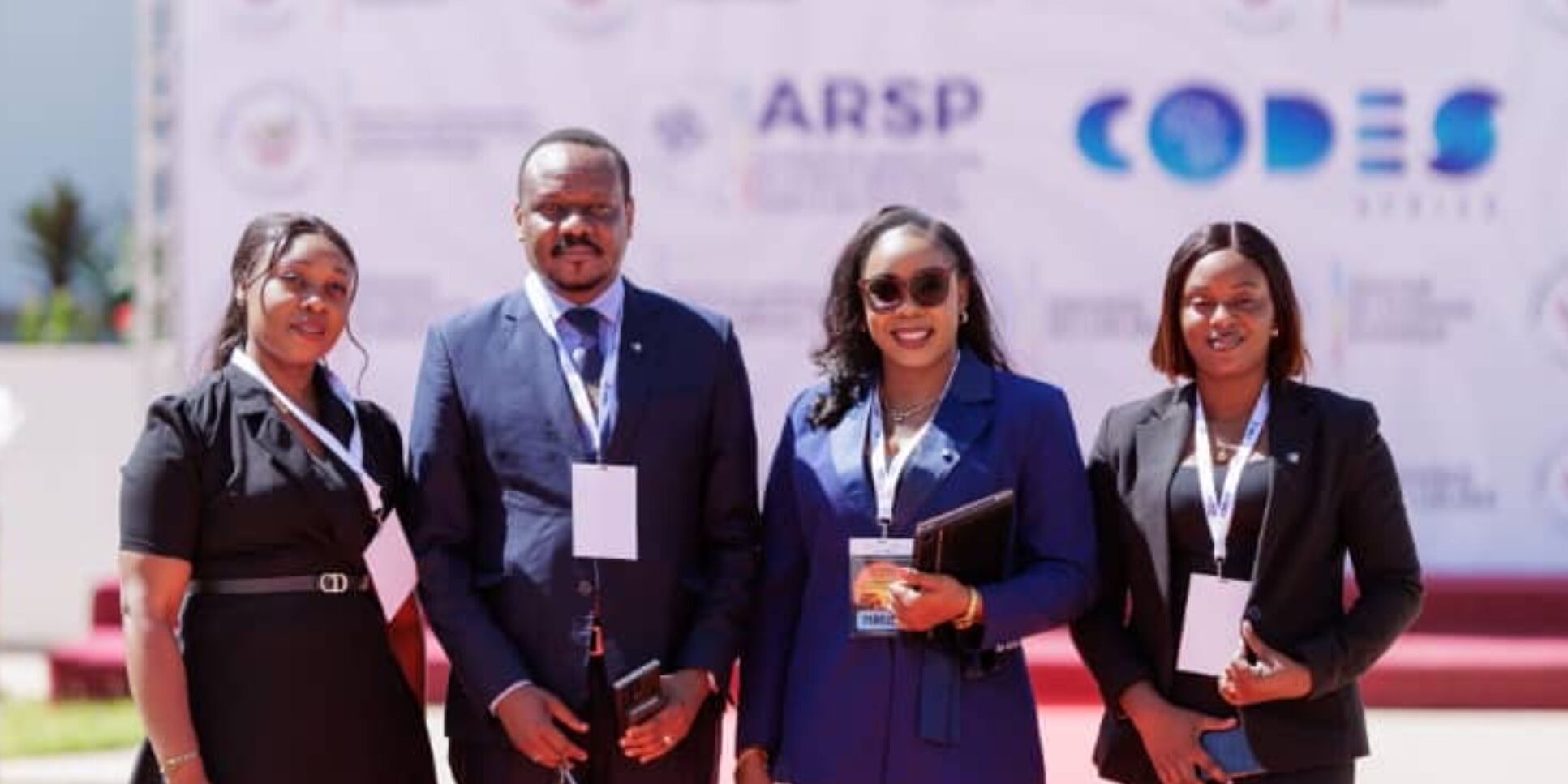
BGFIBank Launches Innovative Financing Solution for DRC Mining Subcontractors at Mining Summit Tech 2026 BGFIBank participated in the first edition of Mining Summit Tech 2026, held on April 30, 2026, at the Congress Village in Kolwezi, Lualaba Province. The summit, focused on mining sovereignty and technological transformation, brought together industry leaders, mining operators, and digital sector stakeholders to explore the role of innovation in the sector. Introducing BGFIMines Flex During the event, BGFIBank RDC introduced BGFIMines Flex, a financing solution designed to address the operational needs of mining subcontractors by…
Read More Here