DRC Launches National Airborne Geophysical Mapping Programme to Modernise Mining Sector
DR Congo Begins Nationwide Airborne Geophysical Survey to Boost Mining Governance and Investment
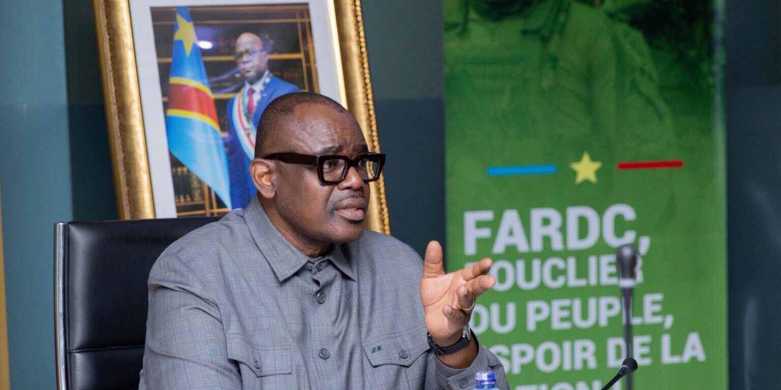
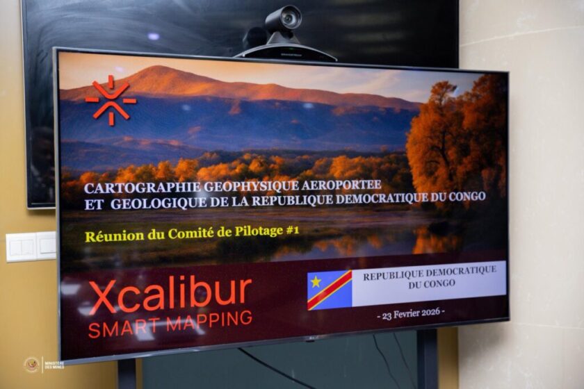
The Minister of Mines of the Democratic Republic of Congo, Louis Watum Kabamba, on Monday chaired the inaugural meeting of the Steering Committee overseeing the country’s airborne geophysical and geological mapping programme in Kinshasa.
The session formally marked the operational launch of what authorities describe as a strategic initiative to modernise the national mining sector.
The nationwide programme is designed to strengthen geological knowledge of the country’s subsoil through high-resolution airborne geophysical surveys and the systematic updating of geological data.
By improving the quality and accessibility of geoscientific information, the government aims to reduce exploration risk, enhance regulatory oversight and reinforce state sovereignty over mineral resources.
Technical implementation of the project has been awarded to Spanish firm Xcalibur Multiphysics Group SL, which specialises in airborne geophysical surveys and data acquisition.
The first steering committee meeting focused on setting strategic priorities, reviewing initial mobilisation of equipment, and confirming administrative and procedural requirements.
Key areas of emphasis include ensuring a smooth operational rollout, maintaining strict regulatory compliance, implementing a public awareness campaign, adhering to financial governance standards and appointing an independent consultant to oversee quality assurance.
During the meeting, Minister Watum Kabamba underscored the importance of structured oversight, noting that the steering committee will play a central role in monitoring implementation and ensuring transparency throughout the project lifecycle.
The initiative aligns with the broader policy vision of President Félix Tshisekedi, which prioritises the sovereign and responsible development of natural resources, under the coordination of Prime Minister Judith Suminwa Tuluka.
Once completed, the updated geological mapping is expected to provide more accurate resource assessments, support long-term sector planning and strengthen the Democratic Republic of Congo’s attractiveness to responsible mining investors committed to environmental stewardship and transparency.
![]()